
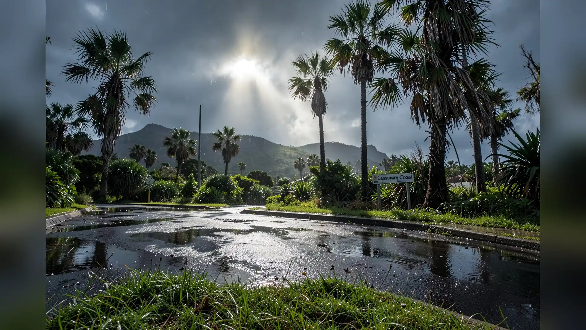
More than 70 millimetres of rain fell on the Cassowary Coast in the 24 hours to 9am Sunday. The Bureau of Meteorology said much of Queensland's east coast was showery over the weekend while inland districts stayed largely settled, with the Granite Belt dropping to about minus 1.5 degrees Celsius overnight on Saturday. The bureau's senior forecaster Felim Hanniffy says south-westerly airflow will push showers off the central and southern coasts and give a mostly sunny mid-week reprieve. He warned the break will be short, with coastal showers and the risk of wind returning ahead of the Ekka next week.
More than 70 millimetres was recorded on the Cassowary Coast in the 24 hours to 9am Sunday, the largest single observation for the period, according to the Bureau of Meteorology. Along the south-east coast the Sunshine Coast recorded the highest totals, about 10 to 20 millimetres over the weekend. Inland districts were much drier: the Granite Belt saw overnight lows down to about minus 1.5 degrees Celsius on Saturday.
The Bureau says a surge of south-westerly airflow will clear showers from the central and southern coasts and produce dry, mostly sunny conditions by the middle of the week. Felim Hanniffy warned that later in the week some coastal showers will return, likely light falls for the Gold Coast, Brisbane and the Sunshine Coast up to Wide Bay Burnett and possibly Capricornia, with the change arriving Friday and into the weekend. That pattern points to a brief sunny window for south-east Queensland mid-week, followed by a return to more changeable coastal weather in the lead-up to the Ekka next week.
Mr Hanniffy said "quite fresh" south-easterlies were in place along parts of the east coast and a strong wind warning was current for the Torres Strait, Peninsula Coast and Cooktown Coast. Those winds are expected to ease through Tuesday and Wednesday, but the bureau cautioned that more significant weather systems could move across southern parts of the state next week and could bring some quite windy conditions during the lead up to the Ekka. A local Gladstone forecast showed daytime maxima around 23 degrees Celsius with southeasterly winds about 19 km/h in the morning picking up to about 27 km/h in the afternoon, a 30 per cent chance of rain on the day and a higher 50 per cent chance of showers on Monday, plus a UV index around 6.
The Bureau noted overnight minimums will remain cool across the interior through the week, with patchy frost possible in the southern interior and a chance of more extensive frost by mid-week. Those cool interior nights will contrast with sunnier daytime spells on the coast, preserving a split between settled inland weather and a more changeable east-coast pattern. Inland communities should keep an eye on frost advisories overnight.
Related Articles
The next signpost is the Ekka next week, when forecasters expect coastal showers and a chance of windier conditions.
This article was created with AI assistance.